Back to Crossing Closing.

Smokey Road at US Hwy 10 Crossing


A particularly scenic bicycle route about 7 miles east Stevens Point is Smokey Road, running north and south from the Smokey Spur bar on 4th Street about 4 miles to US Hwy 10. While this road seems to end up at "no man's land" at that busy divided highway, in a dozen or so years, when Hwy 10 moves south and bypasses the area, Smokey Road will connect to some other very fine bicycling roads of Hwy QQ and Ridge Road, both of which connect to the popular Rolling Hills Road about 2 miles north. Here are some photos taken February, 2009 of Smokey Road where it crosses under the Canadian National railroad crossing. (Click on thumbnail to increase photo size.)

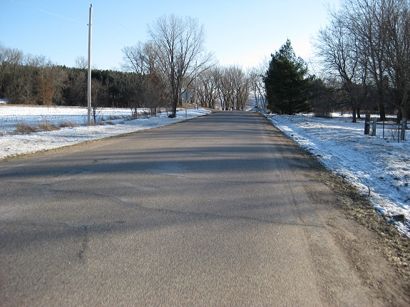
Looking south on Smokey Road from crossing.


Looking north approaching crossing
from south.

Looking north getting closer
to crossing.


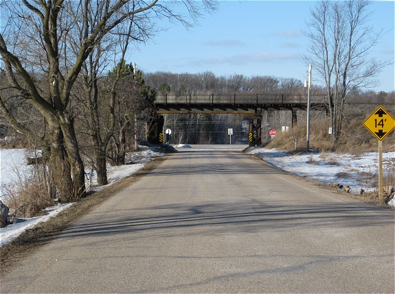
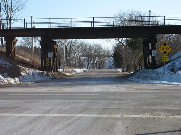
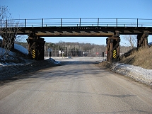
Approaching vehicle underpass,
north bound.

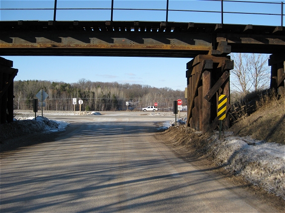
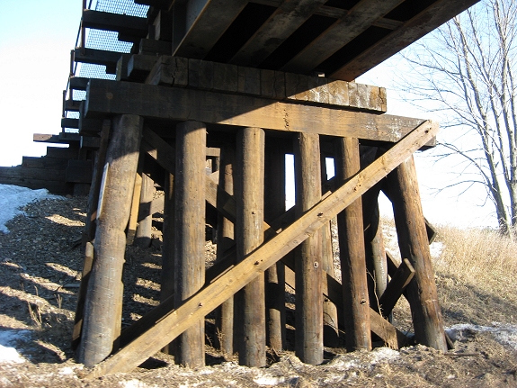
Trestle support poles and beams,
looking east.


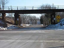
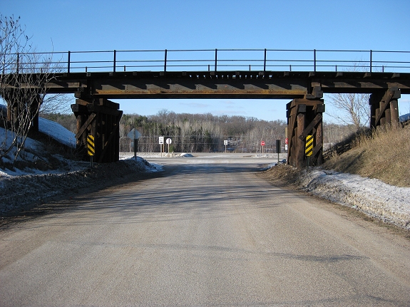
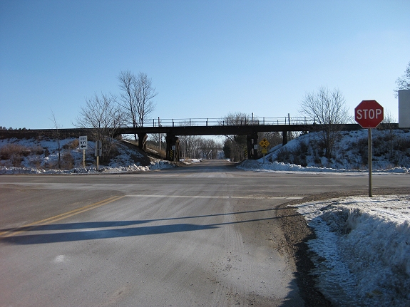
Looking south at underpass
from US Hwy 10

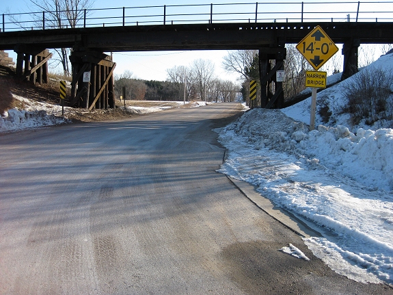
Approaching vehicle underpass from
north at US Hwy 10.


Looking south to bridge from
cross-over lane on US Hwy 10

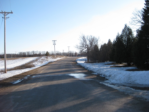
Tree-lined Ridge Road
1/2 mile north of US Hwy 10.


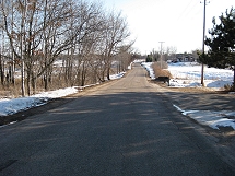
Approaching Smokey Road southbound on
Ridge Road, 1/4 mile north of US Hwy 10.